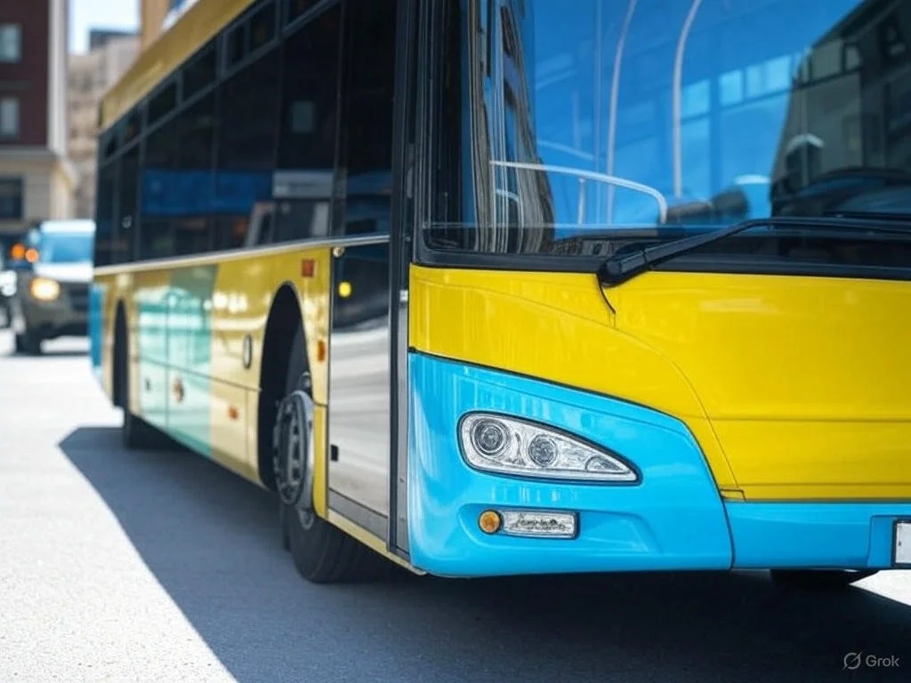
Interactive design in public transportation improves how systems are planned and managed by making data more accessible and actionable. Real-time tools help detect issues like bus bunching and visualize transit patterns through animations and heatmaps. Predictive models smooth out delays in data feeds, making real-time movement easier to interpret. Interactive platforms also support network design and fleet electrification, allowing planners to test scenarios, adjust routes, and optimize resources.
Network Design
4-Step Model: Implements trip generation, distribution, and assignment.
GTFS Integration: Supports editing of routes, blocks, and trips.
Adjustable Parameters: Allows changes to stop locations and headways.
Congestion Visualization: Line thickness reflects network load.
Real-Time monitoring
Real-Time Animation: Predicts bus positions between GTFS-RT updates for smooth display.
Bunching Detection: Identifies bunching using static and real-time GTFS data.
Heatmap Display: Shows bunching intensity over 5–30 minute intervals.
Upcoming Feature: Incorporation of crowding data for service adjustments.
Transit Electrification
Interactive Planning Tool: Configure charger locations, capacities, and electric bus specs.
GTFS Integration: Generates optimal charging plans using GTFS schedule data.
Smart Scheduling: Accounts for layovers, charge continuity, and operational limits.
Custom Fleet Design: Supports flexible fleet sizing and composition.
